Summary
Blefjell is a small mountain range located along the border between Buskerud and Telemark in Norway. It encompasses parts of the five municipalities of Rollag, Flesberg, Kongsberg, Notodden and Tinn. The highest point is Bletoppen at 1,340 metres (4,400 ft) above sea level.[3]
| Blefjell | |
|---|---|
 View of wild reindeer at Blefjell | |
| Highest point | |
| Peak | Bletoppen, Tinn, Norway |
| Elevation | 1,340 m (4,400 ft)[1] |
| Prominence | 540 m (1,770 ft)[1] |
| Isolation | 0.41 km (0.25 mi)[1] |
| Coordinates | 59°48′28″N 9°09′10″E / 59.80767°N 9.15277°E |
| Dimensions | |
| Length | 25 km (16 mi) |
| Width | 5 km (3.1 mi) |
| Area | 100 km2 (39 sq mi) |
| Geography | |
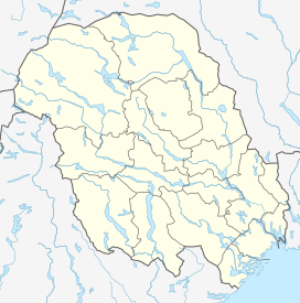
 Blefjell Location of the mountain  Blefjell Blefjell (Telemark)  Blefjell Blefjell (Norway) | |
| Location | Eastern Norway |
| Range coordinates | 59°50′55″N 9°11′25″E / 59.84854°N 9.19024°E[2] |

The bedrock in Blefjell is hard quartzite. The mountain area falls off steeply to the west and more gently to the east. The area is thus most easily accessible from the east (Flesberg) and from the south (Bolkesjø). The area is a popular tourist destination, being approximately 1 hour drive from Kongsberg. There are a number of mountain lodges, hotels, and cabins. The area also has several ski resorts. The Norwegian Trekking Association has three unattended tourist huts in the area: Sigridsbu, Eriksbu, and Øvre Fjellstul.[3]
See also edit
References edit
- ^ a b c "Bletoppen". PeakVisor.com. Retrieved 21 August 2023.
- ^ "Blefjell, Notodden" (in Norwegian). yr.no. Retrieved 21 August 2023.
- ^ a b Thorsnæs, Geir; Lauritzen, Per Roger, eds. (30 March 2023). "Blefjell". Store norske leksikon (in Norwegian). Kunnskapsforlaget. Retrieved 14 August 2023.
External links edit
- Visit Blefjell


