
KNOWPIA
WELCOME TO KNOWPIA

Carinhanha 
Summary
Carinhanha is a municipality in the state of Bahia in the North-East region of Brazil. Carinhanha covers 2,529.45 km2 (976.63 sq mi), and has a population of 29,070 with a population density of 12 inhabitants per square kilometer. It is located on the banks of the Rio São Francisco and the Carinhanha River, which also forms the border of the state of Minas Gerais.[2]
Carinhanha
Município de Carinhanha | |
|---|---|
 Carinhanha Square | |
 Seal | |
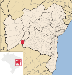 Location of Carinhanha in Bahia | |
 Carinhanha Location of Carinhanha in the Brazil | |
| Coordinates: 14°18′18″S 43°45′54″W / 14.30500°S 43.76500°W | |
| Country | |
| Region | Northeast |
| State | |
| Founded | August 17, 1932 |
| Government | |
| • Mayor | Paulo Elisio Cotrim (2013-2016) |
| Area | |
| • Total | 2,529.45 km2 (976.63 sq mi) |
| Elevation | 440 m (1,440 ft) |
| Population (2020 [1]) | |
| • Total | 29,070 |
| • Density | 11/km2 (30/sq mi) |
| Demonym | Carinhanhense |
| Time zone | UTC−3 (BRT) |
| Website | carinhanha |