


Summary
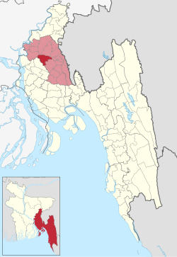
Chandina (Bengali: চান্দিনা) is an upazila of Comilla District in the Division of Chittagong, Bangladesh.[1]
Chandina
চান্দিনা | |
|---|---|
 Three-domed Jame Masjid | |
 | |
| Coordinates: 23°29′N 91°0.5′E / 23.483°N 91.0083°E | |
| Country | |
| Division | Chittagong |
| District | Comilla |
| Area | |
| • Total | 201.01 km2 (77.61 sq mi) |
| Population (2011) | |
| • Total | 350,273 |
| • Density | 1,700/km2 (4,500/sq mi) |
| Time zone | UTC+6 (BST) |
| Website | Official Map of Chandina |
Geography edit
Chandina is located at 23°29′00″N 91°00′30″E / 23.4833°N 91.0083°E. It has 69,736 households and a total area of 201.01 km2. Chandina township is a class B municipality, which is located at the extreme north of the upazila by the Dhaka Chittagong Highway. Chandiara village area is within the municipality and value of property here, like the rest of the municipality, have increased significantly.
Demographics edit
According to the 2011 Bangladesh census, Chandina Upazila had 69,736 households and a population of 350,273. 92,365 (26.37%) were under 10 years of age. Chandina had a literacy rate (age 7 and over) of 51.01%, compared to the national average of 51.8%, and a sex ratio of 1112 females per 1000 males. 48,471 (13.84%) lived in urban areas.[3][2]
Administration edit
Chandina Upazila is divided into Chandina Municipality and 13 union parishads: Barera, Bataghashi, Borcarai, Borcoit, Dollai Nowabpur, Etberpur, Gollai, Joag, Kerankhal, Madhaiya, Maijkhara, Mohichial, and Shuhilpur. The union parishads are subdivided into 121 mauzas and 223 villages.[3]
Chandina Municipality is subdivided into 9 wards and 19 mahallas.[3]
See also edit
References edit
- ^ Bhuiyan, Muhammad Mosharaf Hossain (2012). "Chandina Upazila". In Islam, Sirajul; Jamal, Ahmed A. (eds.). Banglapedia: National Encyclopedia of Bangladesh (Second ed.). Asiatic Society of Bangladesh.
- ^ a b "Bangladesh Population and Housing Census 2011 Zila Report – Comilla" (PDF). bbs.gov.bd. Bangladesh Bureau of Statistics.
- ^ a b c "Community Tables: Comilla district" (PDF). bbs.gov.bd. 2011.