
KNOWPIA
WELCOME TO KNOWPIA

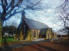
Choppington 
Summary
| Choppington | |
|---|---|
 | |
 Choppington Location within Northumberland | |
| Population | 9,787 (2011)[1] |
| OS grid reference | NZ255835 |
| Civil parish |
|
| Unitary authority | |
| Ceremonial county | |
| Region | |
| Country | England |
| Sovereign state | United Kingdom |
| Post town | CHOPPINGTON |
| Postcode district | NE62 |
| Police | Northumbria |
| Fire | Northumberland |
| Ambulance | North East |
| UK Parliament | |
Choppington is a large village and civil parish in Northumberland, England. It is situated 5 miles to the south-east of Morpeth, and north of Bedlington. It was at one time part of the three big mid-Northumberland collieries (Ashington, Bomarsund and Choppington). In 2011 the parish had a population of 9787.
The parish, which was until 1 July 2010 called North Bedlington, was created on 1 April 2009[2] also includes the settlements of Bomarsund, Guide Post, Stakeford, Sheepwash, Scotland Gate and West Sleekburn.
Governance edit
An electoral ward exists. the population of this ward at the 2011 Census was 4,792.[3]
References edit
External links edit
Wikimedia Commons has media related to Choppington.