
KNOWPIA
WELCOME TO KNOWPIA

Eucla Airport 
Summary
Eucla Airport is an airstrip in Eucla, Western Australia. It has one runway that is 1369 m long. It has a Traffic Pattern Altitude of 305 m.[1] It is mostly used by the Royal Flying Doctor Service of Australia, who completed 84 medical evacuations from the airstrip between 2009 and 2014. There is an ongoing campaign to upgrade the flood-prone airstrip. When it is unusable, aircraft must land on the nearby Eyre Highway.[2]
Eucla Airport | |||||||||||
|---|---|---|---|---|---|---|---|---|---|---|---|
 Eucla War Memorial, with the Airport runways and the Great Australian Bight behind it | |||||||||||
| Summary | |||||||||||
| Airport type | Public | ||||||||||
| Location | Eucla, Western Australia | ||||||||||
| Coordinates | 31°42′26″S 128°52′29″E / 31.70722°S 128.87472°E | ||||||||||
| Map | |||||||||||
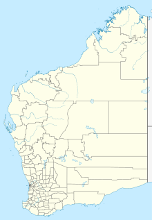 YECL Location in Western Australia | |||||||||||
| Runways | |||||||||||
| |||||||||||
Sources: Airport Guide[1] | |||||||||||
See also edit
References edit
External links edit
![]() Media related to Eucla Airport at Wikimedia Commons
Media related to Eucla Airport at Wikimedia Commons
- Airservices Aerodromes & Procedure Charts