
KNOWPIA
WELCOME TO KNOWPIA

Gregoire Lake 
Summary
Gregoire Lake is a lake in Alberta, Canada. It is part of the Athabasca River basin.
| Gregoire Lake | |
|---|---|
 A beach at Gregoire Lake Provincial Park | |
 Gregoire Lake | |
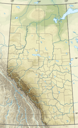
| Location | Wood Buffalo, Alberta |
| Coordinates | 56°27′06″N 111°07′38″W / 56.45167°N 111.12722°W |
| Type | eutrophic |
| Primary outflows | Gregoire River |
| Catchment area | 232 km2 (90 sq mi)[1] |
| Basin countries | Canada |
| Max. length | 9.3 km (5.8 mi) |
| Max. width | 4.6 km (2.9 mi) |
| Surface area | 25.8 km2 (10.0 sq mi)[1] |
| Average depth | 3.9 m (13 ft) |
| Max. depth | 7.2 m (24 ft) |
| Surface elevation | 480 m (1,570 ft) |
It is located in the wetlands of northern Alberta, adjacent to Highway 881, between Fort McMurray and Lac La Biche. It was known as "Willow Lake" until 1940 when the name was changed to "Gregoire Lake".[2]
The lake has a total area of 25.8 km2 (10.0 sq mi) and lies at an elevation of 480 m (1,570 ft). It has a maximum depth of 7.2 m (24 ft) and an average depth of 3.9 m (13 ft).[1]
Gregoire Lake Provincial Park is established on the northern shore of the lake, which is a traditional territory of Woodland Cree and Chipewyan First Nations.[2]
See also edit
References edit