


Summary
Mandurang is a locality in the City of Greater Bendigo,[2] in the Australian state of Victoria. It grew and developed as a goldfield settlement and logging locality, though today mostly consists of small farms and wineries. The name is derived from an Aboriginal word meaning black cicada.[3]
| Mandurang Bendigo, Victoria | |
|---|---|
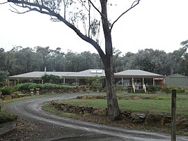 Mandurang Post Office in March 2022 | |
 Mandurang | |
 | |
| Coordinates | 36°51′15″S 144°16′52″E / 36.85417°S 144.28111°E |
| Population | 641 (2016 census)[1] |
| Postcode(s) | 3551 |
| LGA(s) | City of Greater Bendigo |
| State electorate(s) | Bendigo East |
| Federal division(s) | Bendigo |
It is located 10 km (6 mi) south of Bendigo and is reputed by the government mapping agency, to be the geographic centre of Victoria at 36° 51' 15"S, 144° 16' 52" E. Parts of the Greater Bendigo National Park are located in Mandurang.
History edit
Mandurang Primary School was opened in 1877 and closed in 1994.
According to Victorian Municipal Directory 1976:
Post and telephone office, State school, two churches. Overlooked by "One Tree Hill", from which an extensive picturesque view is obtained. Rail to Bendigo, thence 8 km. Postcode 3551.[4]

References edit
- ^ Australian Bureau of Statistics (27 June 2017). "Mandurang (State Suburb)". 2016 Census QuickStats. Retrieved 17 September 2020.
- ^ Map of the county of Bendigo showing colony and parish boundaries, main roads, telegraph lines and railways. 1886, J. Sands.
- ^ "Mandurang | Victorian Places".
- ^ Holzer, Louis L. (1976). Victorian Municipal Directory (96th ed.). Arnall & Jackson. p. 870.