


Summary
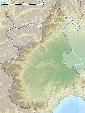
Monte Leco is a mountain in Liguria, northern Italy, part of the Ligurian Apennines. It is located in the provinces of Genoa and Alessandria. It lies at an altitude of 1072 metres.
| Monte Leco | |
|---|---|
 | |
| Highest point | |
| Elevation | 1,072 m (3,517 ft)[1] |
| Prominence | 152 m (499 ft) |
| Coordinates | 44°33′51″N 8°52′24″E / 44.56417°N 8.87333°E |
| Geography | |
| Parent range | Ligurian Apennines |
| Climbing | |
| First ascent | ancestral |
| Easiest route | dirt road |


Access to the summit edit
The mountain is easily accessible by signposted tracks departing from Bocchetta Pass or Isoverde (municipality of Campomorone).
The Alta Via dei Monti Liguri, a long-distance trail from Ventimiglia (province of Imperia) to Bolano (province of La Spezia), passes very close to the mountain's summit.[2]
Nature conservation edit
The mountain and its surrounding area are part of a SIC (Site of Community Importance) called Praglia – Pracaban – M. Leco – P. Martin (code: IT1331501).[3] Its northern slopes are included in the Piedmontese natural park of the Capanne di Marcarolo.[4]
References edit
- ^ I.G.C. - Carta dei sentieri 1:50.000 n. 16 Genova - Varazze -Ovada
- ^ Fabrizio Oneto and Fabrizio Càlzia. L'alta via dei monti liguri - Monti di Genova (PDF) (in Italian). Galata. Archived from the original (PDF) on 2015-12-11. Retrieved 2016-04-09.
{{cite book}}:|website=ignored (help) - ^ Bollettino Ufficiale Regione Liguria nr.13 of 15-7-2009; the Ligurian SIC list is on-line at lrv.regione.liguria.it Archived 2016-03-05 at the Wayback Machine (access: July 2015)
- ^ Siti di Importanza Comunitaria (SIC), Regione Piemonte, list on gis.csi.it Archived 2016-03-03 at the Wayback Machine (accessed on April 2016)
![]() Media related to Monte Leco at Wikimedia Commons
Media related to Monte Leco at Wikimedia Commons