
KNOWPIA
WELCOME TO KNOWPIA

Navrongo Airport 
Summary
Paga Airport/Airstrip (ICAO: DGLN) is an airstrip serving Paga and Navrongo, towns in Kassena-Nankana West District of the Upper East Region of Ghana. The airport was initially constructed to help land soldiers to defend the country's borders in case of attacks.
Paga Airstrip/Airport Paga Airstrip | |||||||||||
|---|---|---|---|---|---|---|---|---|---|---|---|
| Summary | |||||||||||
| Airport type | Public | ||||||||||
| Owner | Government | ||||||||||
| Serves | Upper East Region, Paga | ||||||||||
| Location | Paga | ||||||||||
| Elevation AMSL | 690 ft / 210 m | ||||||||||
| Coordinates | 10°56′34″N 1°05′14″W / 10.94278°N 1.08722°W | ||||||||||
| Map | |||||||||||
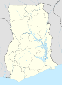 Paga | |||||||||||
| Runways | |||||||||||
| |||||||||||
Caution: OurAirports[3] and Great Circle Mapper[4] sources for DGLN have erroneous coordinate and elevation data.
References edit