
KNOWPIA
WELCOME TO KNOWPIA

Riverview, St. Louis 
Summary
Riverview is a neighborhood of St. Louis, Missouri. Riverview comprises the extreme northern section of the city, bounded by the Mississippi River to the east, the city limits to the west, and Chain of Rocks Road to the south, with the northern boundary lying a third of a mile north of I-270.[2] The only major road running through the neighborhood is Riverview Drive.
Riverview | |
|---|---|
 Riverview Neighborhood at its northern end, where the Chain of Rocks Bridge enters Missouri. | |
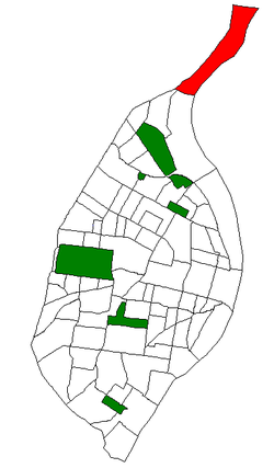 Location (red) of Riverview within St. Louis | |
| Country | United States |
| State | Missouri |
| City | St. Louis |
| Wards | 2 |
| Government | |
| • Aldermen | Dionne Flowers |
| Area | |
| • Total | 1.34 sq mi (3.5 km2) |
| Population (2020)[1] | |
| • Total | 242 |
| • Density | 180/sq mi (70/km2) |
| ZIP code(s) | Part of 63137 |
| Area code(s) | 314 |
| Website | stlouis-mo.gov |
Demographics edit
| Census | Pop. | Note | %± |
|---|---|---|---|
| 1990 | 329 | — | |
| 2000 | 237 | −28.0% | |
| 2010 | 304 | 28.3% | |
| 2020 | 242 | −20.4% | |
| Sources:[3][4] | |||
In 2020 Riverview's racial makeup was 69.8% black, 28.1% white, and 1.7% two or more races. 0.4% of the population was of Hispanic or Latino origin.[5]
See also edit
- Riverview, St. Louis County, Missouri, a village in adjoining St. Louis County
References edit
- ^ 2020 Census Neighborhood Results
- ^ Neighborhood Data Profile for Riverview
- ^ "Riverview Neighborhood Statistics". St Louis, MO. Retrieved 22 February 2023.
- ^ "Neighborhood Census Data". City of St. Louis. Retrieved 22 February 2023.
- ^ "City of St. Louis - Neighborhood Population & Demographics Census 2020 P.L. 94-171 Redistricting Data Release" (PDF). 2021-08-23.
38°44′48″N 90°11′51″W / 38.7468°N 90.1975°W