
KNOWPIA
WELCOME TO KNOWPIA

Salleron 
Summary
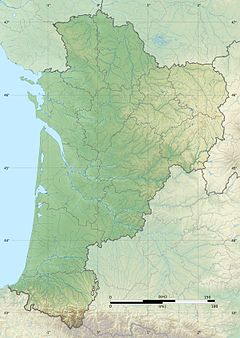
The Salleron (French: le Salleron) is a 51.7-kilometre (32.1 mi) long river in the Haute-Vienne, Vienne and Indre departments in central France.[1] Its source is several small streams which converge in a pond at Azat-le-Ris. It flows generally north. It is a left tributary of the Anglin, into which it flows between Concremiers and Ingrandes.
| Salleron | |
|---|---|
 | |
  | |
| Location | |
| Country | France |
| Physical characteristics | |
| Source | |
| • location | Azat-le-Ris |
| • coordinates | 46°17′15″N 01°02′11″E / 46.28750°N 1.03639°E |
| • elevation | 220 m (720 ft) |
| Mouth | |
• location | Anglin |
• coordinates | 46°35′47″N 00°58′22″E / 46.59639°N 0.97278°E |
• elevation | 78 m (256 ft) |
| Length | 51.7 km (32.1 mi) |
| Basin size | 150 km2 (58 sq mi) |
| Discharge | |
| • average | 0.917 m3/s (32.4 cu ft/s) |
| Basin features | |
| Progression | Anglin→ Gartempe→ Creuse→ Vienne→ Loire→ Atlantic Ocean |
Departments and communes along its course edit
This list is ordered from source to mouth:
- Haute-Vienne: Azat-le-Ris
- Vienne: Lathus-Saint-Rémy, Bourg-Archambault, Saint-Léomer, Journet, Béthines, Haims
- Indre: Concremiers, Ingrandes
References edit