
KNOWPIA
WELCOME TO KNOWPIA

Storheia 
Summary
Storheia is the highest mountain in Bymarka in the municipality of Trondheim in Trøndelag county, Norway. The 565-metre (1,854 ft) tall mountain lies about 3 kilometres (1.9 mi) east of the village of Langørjan. On clear days, one can stand atop Storheia and see as far as the mountain Snøhetta, about 130 kilometres (81 mi) away. The smaller mountain Gråkallen lies just to the northeast.[2]
| Storheia | |
|---|---|
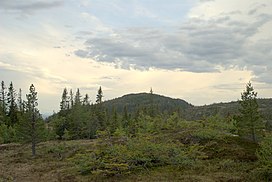 Storheia. | |
| Highest point | |
| Elevation | 565 m (1,854 ft) |
| Prominence | 420 m (1,380 ft) |
| Isolation | 15.72 to 15.74 km (9.77 to 9.78 mi) |
| Coordinates | 63°24′08″N 10°12′04″E / 63.4022°N 10.2010°E[1] |
| Geography | |
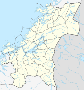 Storheia Location of the mountain  Storheia Storheia (Norway) | |
| Location | Trøndelag, Norway |
| Topo map | 1621 IV Trondheim |
Name edit
The first element is stor which means "big" and the last element is the finite form of hei which means "upland" or "hill".
References edit
- ^ "Storheia, Trondheim (Trøndelag)" (in Norwegian). yr.no. Retrieved 2017-03-23.
- ^ Store norske leksikon. "Bymarka" (in Norwegian). Retrieved 2011-03-24.