


Summary
Yuba State Park is a state park on the Sevier Bridge Reservoir (also known as Yuba Reservoir) in Juab and Sanpete counties in central Utah, United States.[4]
| Yuba State Park | |
|---|---|
IUCN category V (protected landscape/seascape) | |
 Sunrise at Yuba State Park, July 2008 | |
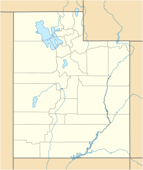 Location of Yuba State Park in Utah | |
| Location | Utah, United States |
| Coordinates | 39°22′44″N 112°1′39″W / 39.37889°N 112.02750°W |
| Area | 15,940 acres (64.5 km2)[1] |
| Elevation | 5,100 ft (1,600 m)[2] |
| Established | February 15, 1964[1] |
| Visitors | 120,829 (in 2022)[3] |
| Operator | Utah State Parks |
Description edit
The park is located approximately 25 miles (40 km) south of Nephi. Recreational opportunities include camping, boating, swimming, fishing, and nearby off highway vehicle riding.
History edit
Yuba State Park got its name from the individuals who built the dam. Local farmers and ranchers had to build the dam themselves or risk losing their water rights. The men working on the structure called it the U.B. Dam. As they worked they sang a song that stated they were damned if they worked and damned if they didn't. The phonetic sound of the reservoir's name was eventually spelled Yuba.[2][1]
See also edit
References edit
![]() This article incorporates public domain material from the website of the Utah Division of State Parks.
This article incorporates public domain material from the website of the Utah Division of State Parks.
External links edit
- Official website