
KNOWPIA
WELCOME TO KNOWPIA

Birr Aerodrome 
Summary
Birr Airfield is located 1 NM (1.9 km; 1.2 mi) south[1] of the town of Birr in County Offaly in Ireland. It was originally called Birr View Air Strip. The area for many years has been closely linked with aviation, dating from the time of the British Army air strip which was very near the present air field.[clarification needed] The Ormand Flying Club has been in operation at Birr Airfield for over 30 years; it is a Registered Training Facility for the new JAR PPL Licence.
Birr Aerodrome Aeradróm Bhiorra | |||||||||||
|---|---|---|---|---|---|---|---|---|---|---|---|
| Summary | |||||||||||
| Airport type | Private | ||||||||||
| Operator | Ormond Flying Club | ||||||||||
| Serves | Birr | ||||||||||
| Location | Birr, County Offaly, Ireland | ||||||||||
| Elevation AMSL | 250 ft / 76 m | ||||||||||
| Coordinates | 53°04′15″N 007°53′55″W / 53.07083°N 7.89861°W | ||||||||||
| Map | |||||||||||
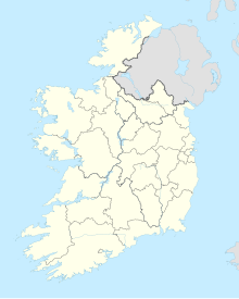 EIBR Location of airport in Ireland | |||||||||||
 | |||||||||||
| Runways | |||||||||||
| |||||||||||
The airfield has one landing strip which is orientated north/south. Recent construction of a hangar allows overnight storage of aircraft with avgas and mogas facilities on site.[citation needed] The field is open to the public, with prior permission.[citation needed]
References
edit- ^ a b Aerodrome Information - VFR Aerodromes and Heliports Archived 15 June 2011 at the Wayback Machine
External links
edit- Ormand Flying Club